The Ultimate Guide To Finding True North: Navigating Your Way
True north is the only direction that will take you from the bottom of the map to the top. However, compasses point to the magnetic north, a position in the Canadian Arctic that moves about due to the Earth’s magnetic fields.

The fields are not exactly aligned with the geographical ones, so maps and compasses don’t show the true north in the same way, and this is called magnetic declination.
In New Zealand, the magnetic north is around 20 degrees east, while in Atlanta, Georgia, it is 6 degrees west. Agonic lines are geographical lines that connect true north with magnetic north.
So, how exactly do you get to the North Pole or any other genuine northern destination with all these contradictions? No worries, the true North of the globe can be located using a few methods.
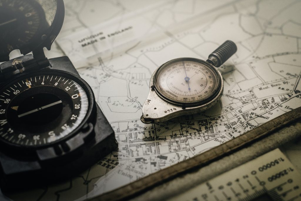
Using a compass
A magnetic compass can locate magnetic north, which is not exactly the one we’re talking about here. However, by determining the declination, the compass reading can be adjusted to find the true north.
Stargazing
The North Star (Polaris) can be used to locate the true North. It is located close to the celestial North Pole and is a relatively fixed point in the sky.

GPS
GPS devices can provide information on finding the true North and can be used for navigation and locating the true North with high accuracy.
Map and sun
A map can be used in conjunction with the sun to locate the true North. By aligning a stick vertically in the ground and marking the shadow’s tip, and then waiting 15 minutes and marking the new shadow tip, the line connecting both tips points to the North.

Keep in mind that the precision of these methods may vary and may need to be adjusted for specific locations and conditions.
